
Research Highlights
Predicting the Unprecedented: Forecasting the June 2021 Pacific Northwest Heatwave
In June 2021, an unprecedented extreme heatwave impacted the Pacific Northwest. Predicting such extreme events is key for preparedness and early action, and beyond temperature, it is important to consider biometeorological forecasts, accounting for the effects of the environment on the human body. We evaluated the performance of ECMWF’s forecasts during this heatwave, and highlight that several days in advance, an event surpassing the maximum of climatology was predicted with extremely high confidence (100% of ensemble members) – successfully predicting the unprecedented.
Predicting the unprecedented: forecasting the June 2021 Pacific Northwest heatwave. Weather. Emerton, R., C. Brimicombe, L. Magnusson, C. Roberts, C. Di Napoli, H.L. Cloke & F. Pappenberger, 2022: [open access]
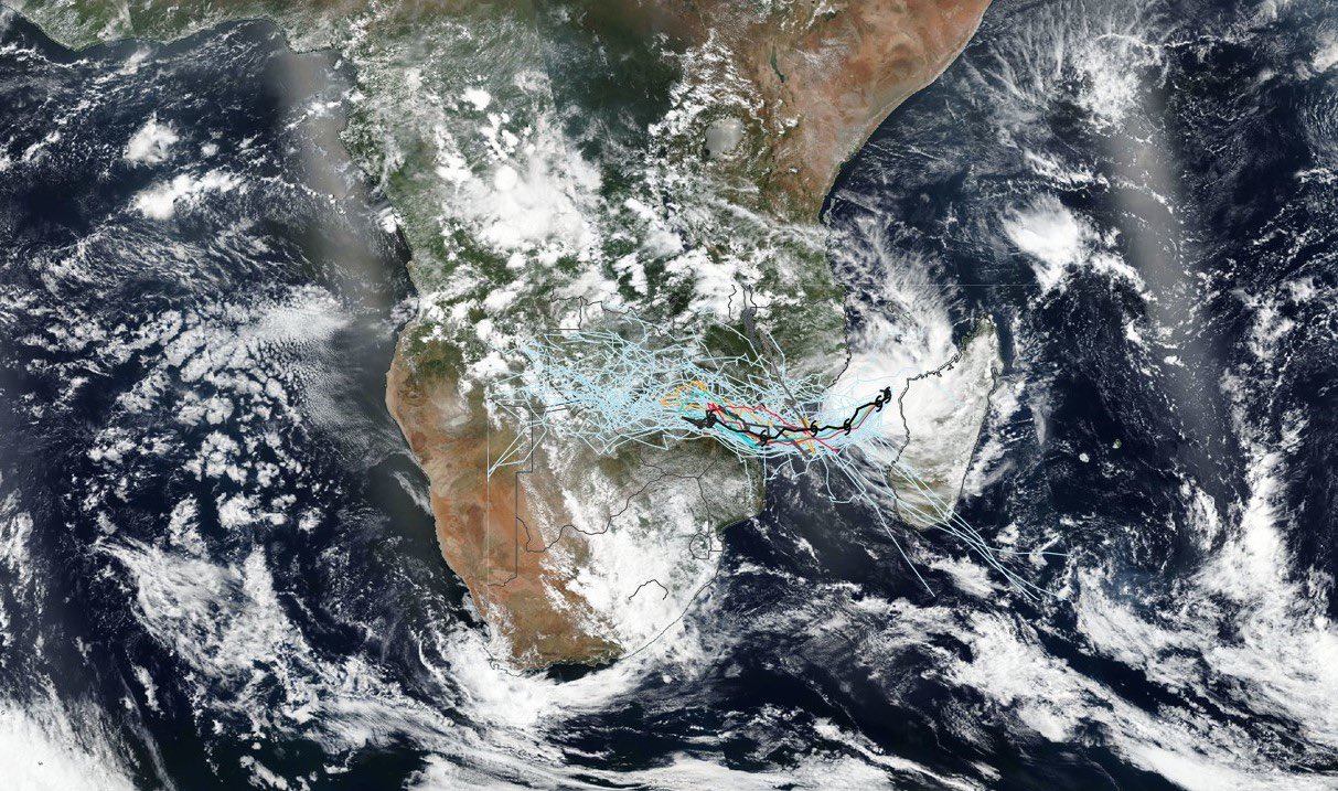
Mozambique – predicting flooding from tropical cyclones
Emergency flood bulletins for Cyclones Idai and Kenneth: a critical evaluation of the use of global flood forecasts for international humanitarian preparedness and response, International Journal of Disaster Risk Reduction, 50, 101811, by Emerton, R., H.L. Cloke, A. Ficchi, L. Hawker, S. de Wit, L. Speight, C. Prudhomme, P. Rundell, R. West, J. Neal, J. Cuna, S. Harrigan, H. Titley, L. Magnusson, F. Pappenberger, N. Klingaman and E. Stephens, 2020 [open access]
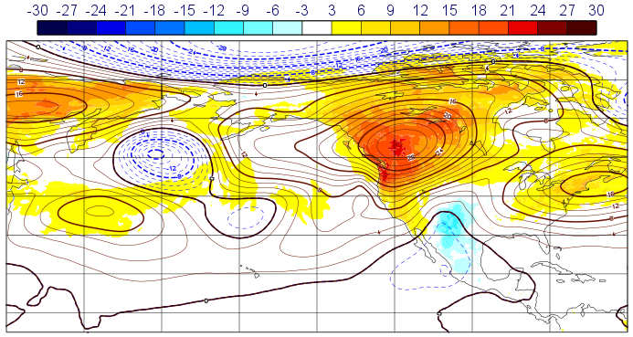
Using El Nino and La Nina to predict flood hazard worldwide
Complex Picture for Likelihood of ENSO-Driven Flood Hazard, Nature Communications, 8, 14796, by R. Emerton, H.L. Cloke, E. Stephens, E. Zsoter, S.J. Woolnough and F. Pappenberger, 2017 [open access]
What is the most useful approach for forecasting hydrological extremes during El Niño? Environmental Research Communications, 1 (031002), by R. Emerton, E. Stephens and H.L. Cloke, 2019 [open access]
Developing global scale seasonal river flow forecasts
Developing a global operational seasonal hydro-meteorological forecasting system: GloFAS-Seasonal v1.0, Geoscientific Model Development, 11, 3327-3346, by R. Emerton, E. Zsoter, L. Arnal., H.L. Cloke, D. Muraro, C. Prudhomme, E. Stephens, P. Salamon and F. Pappenberger, 2018 [open access]
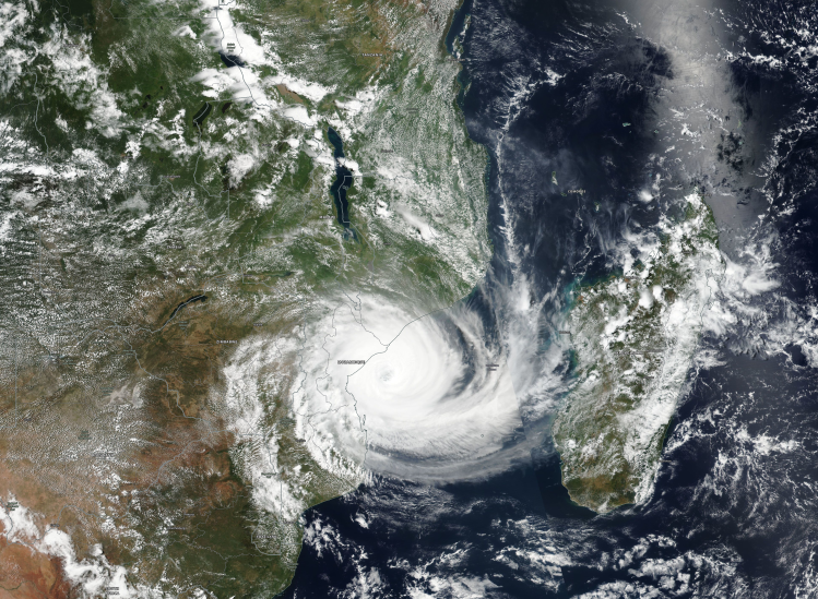
Predicting the impacts of tropical cyclones – when should we trust the forecasts, and when should we not?
“Between September 2018 and May 2019, a record-breaking 15 tropical storms moved through the southern Indian Ocean. This marked the first season where two intense tropical cyclones, Idai and Kenneth*, made landfall in Mozambique, causing devastating flooding and affecting more than 3 million people, with over a thousand fatalities. As I write this, Cyclone Amphan, the strongest tropical cyclone on record in the Bay of Bengal, is heading towards the coast of India and Bangladesh, causing significant concerns due to extreme winds, rainfall and flooding from storm surge – all while also trying to prevent the spread of COVID-19. The anticipation and forecasting of natural hazards such as tropical cyclones and the flooding they cause, is crucial to preparing for their impacts. But it’s important to understand how well forecast models are able to predict these events, and the limitations of the forecasts – this information informs decision-making by national meteorological agencies, humanitarian organisations and the forecast-based financing community on how best to interpret forecasts of tropical cyclones. When should disaster management agencies trust a forecast for a landfalling tropical cyclone, and when should they not?“
Over the past couple of years, my research focussed on evaluating the prediction of tropical cyclones in the south-west Indian Ocean, working with the Red Cross and national meteorological services in south-east Africa to better understand the prediction of cyclones and their impacts. Click below to read the article on the University of Reading meteorology department blog.
